Hong Kong PolyU - Block Z

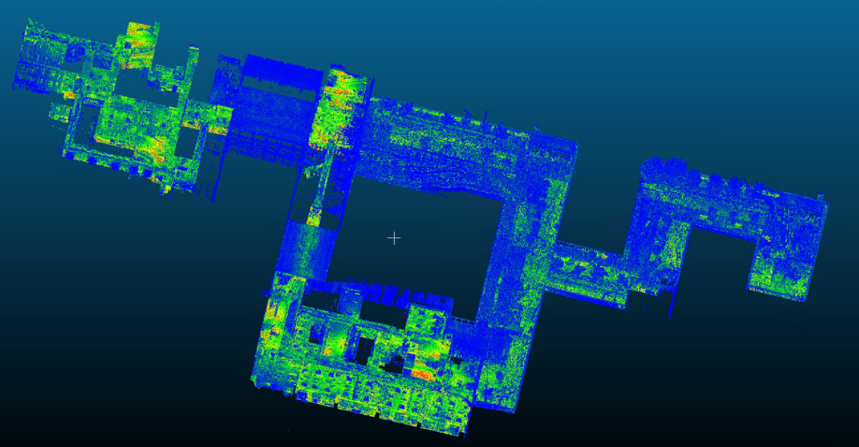
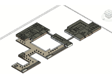
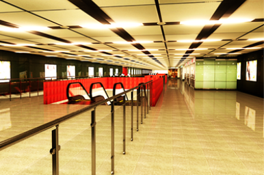
We use LiDAR to scan the interial of the Block Z, Hong Kong PolyU, generate the BIM from point cloud, with detailed rendering.
stands for Light Detection and Ranging, is a remote sensing method that uses light in the form of a pulsed laser to measure ranges (variable distances) to the target.

Economic and antonomous 3D scanning, modeling, and BIM generation.

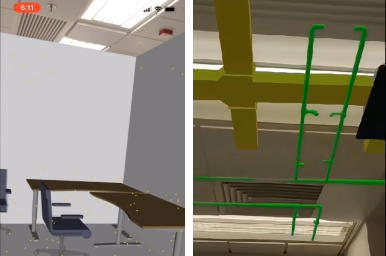
Integrating VR/AR technology to BIM, giving you a perspective 3D vision.

Customized product and services based on 3D modeling visuallization and analysis, integrated with positioning, surveying, AI technologies.